We left Flagstaff, Arizona on April 26th, headed to the North Rim of the Grand Canyon and our jobs for the summer.
The 225-mile or so drive is one of the most scenic I have ever travelled.
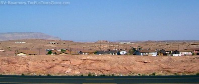
We took Highway 89 north out of Flagstaff, passing by the entrance to Sunset Crater and Wupatki National Monument. The road took us through the Apache Indian Reservation.
We stopped for snacks at the gas station in the town of Cameron, and picked up the tribal newspaper. It was very interesting reading the wedding announcements and obituaries — because the names and clans of each person were listed.
 There were several Native American jewelry vendors along the side of the road. I couldn’t resist, so we stopped and I bought a nice turquoise and silver ring.
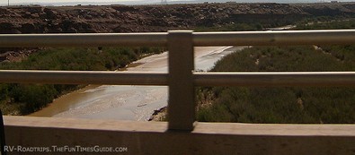
I went through about 3 sets of batteries for my camera because there was such scenic wonder around every turn of the road. There is not much water, but I did get a picture of the Little Colorado River. The river is not very big, but it’s an important water source.
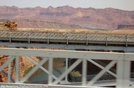 The rock formations were awesome, with many colors and layers of rocks. After we turned off of Highway 89 onto Highway 89A, we crossed over the mighty Colorado River where it enters the Grand Canyon to the east. The Navajo Bridge there has a parking lot where you can pull off and walk over the bridge, as well as an Information Center.
Check out these beautiful fullscreen views of the Grand Canyon and Colorado River.
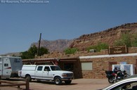 A few miles later, we were in Marble Canyon. What a view! And what a very good name for this canyon. The cliffs were marbled and even more colorful. Next to this, we felt like the Grand Canyon would be just another view. At Marble Canyon, we stopped at Lee’s Ferry, where the Cliff Dwellers Lodge and gas station was the last gas station we would encounter before we got to Jacob Lake. The diesel fuel there was $4.26 per gallon, which was the highest we had encountered on our entire trip. But, considering it was out in the middle of nowhere, we felt pretty lucky to get it.
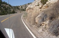 After we left Lee’s Ferry, we started going uphill. The elevation of the North Rim of the Grand Canyon is 8,827 feet. The terrain started to change, too, from the huge layered red rock formations to a more rocky and mountainous look. After about 50 or 60 miles we got to the intersection of Highway 89A and Highway 67 at Jacob Lake.
Highway 67 is the road through the Kaibab National Forest that leads up to the Grand Canyon North Rim. Since we were there before the season started, we had to stop at the entrance to the Kaibab National Forest and unlock the gate, and lock it back after we entered.
The drive up that plateau was beautiful. The terrain changed again to that of an alpine forest. We saw several kinds of spruce, Ponderosa pines, and aspens. There were still several feet of snow on the ground covering the meadows in some places, but we could see the lakes and streams. Then we would round a bend in the road, and the next meadow would be snow free. I never knew Arizona could be so beautiful.
As soon as you reach the northern edge of the forest, you enter the Grand Canyon National Park. The entrance station was, of course, closed. It is where you pay or show your pass when the park is open for business. From that point, it is 12 miles to the rim of the canyon.
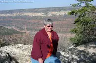 Our destination was the employee campground, about 11 miles from the entrance station. We could hardly wait to get our RV trailer set up, so we could go down to the rim and get our first view!
So, here we are… at the North Rim of the Grand Canyon. We get to work and live here for the next 6 months. I am in Heaven!

