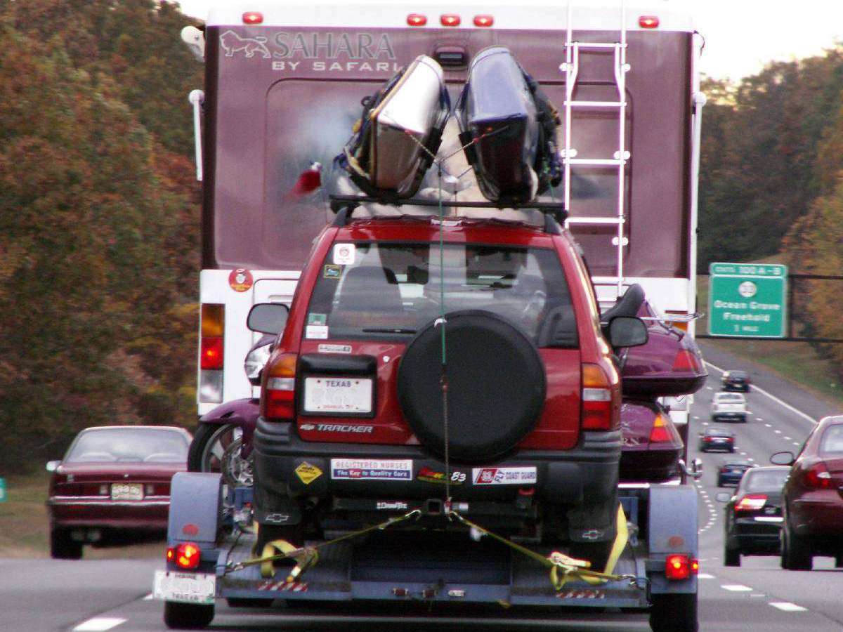
Large recreational vehicles face many of the same issues on the road that are common in the trucking industry — like being able to turn around a big rig, making wide turns, and difficulty backing up, to name a few. That’s why mapping software and GPS units can be lifesavers for RVers.
Picture this late night event…
With nothing more then a general idea of where I was going, and an address jotted down on a scrap of paper, I was coming into New Orleans. My 1-ton truck with 40-foot gooseneck trailer had a total length of about 60 feet. I saw the exit that was labeled with the street name I was watching for at the very last second.
As soon as I got off the freeway, I knew I was in trouble.
The streets were getting pretty narrow, and the buildings quickly became ornate.
In the darkness, it became apparent that I had landed right in the middle of the French Quarter where corners are tight, and room to maneuver a big rig is pretty much nonexistent.
As the freeway vanished behind me, I knew this wasn’t going to be good. I would be late for my delivery.
Things weren’t nearly as bleak as you would think though. Here’s why…
Mapping Software To The Rescue
About a week earlier, I had picked up a copy of Microsoft Streets and Trips and loaded it onto my laptop which was sitting on the seat beside me.
So I pulled into the next bus stop, hit the power switch on my laptop, and in about 2 minutes I had identified my current location. I then found a short and quick path back to I-10, and in no time, I was on my way.
The software alone was enough to straighten me out. At the time, I didn’t even have the optional GPS transmitter. Yep, if you have a laptop computer, you can get a GPS receiver that inserts into a USB connection on your computer. For the mapping software and GPS receiver together, you’re looking at less than $100.
As far as road mapping software goes, I’ve used both Delorme Street Atlas and Microsoft Streets and Trips. Street Atlas is works ok, but it isn’t nearly as good as Streets and Trips. I definitely prefer Microsoft Streets and Trips — even without the optional GPS receiver.
I know that when we travel, the computer is always close by. And, after driving commercially, I’ve learned that it’s worth pulling into a rest stop and firing up the computer before entering a new city.
GPS Takes Mapping Software A Step Further
Today, the highway traveler has even more options when it comes to finding their way and choosing RV-friendly routes. While mapping software alone can get you from Point A to Point B effortlessly, some RVers prefer to rely on a full-blown GPS unit.
With GPS, you really don’t have to do anything at all. Simply plug it in (to your cigarette lighter), and follow the turn-by-turn directions — which appear both visually on the screen, as well as audibly with voice commands.
How cool is that? Your travel partner can go back and take a nap, instead of manhanding maps and navigating your route.
I know our first trip through Kansas City, down I-35, about had my wife in tears trying to figure out which way I was supposed to go using the old folded paper maps. Not any more… Now, we just punch in our destination and all the hard work is done!
GPS Goes Anywhere You Do
If you’re into hiking or ATVing on your adventure-filled RV roadtrips (or at back at home, it doesn’t matter), then a portable or handheld GPS unit can be a timesaver. It will take you step-by-step right back to your starting point. And it’s fun to use, as well!
For example, many state ATV trails go on for miles, and getting turned around and lost is part of the sport. Now, with a portable GPS unit, you can take the most direct route back to your campsite rather than back-tracking the exact same trail you’ve just spent the last few hours on.
And, if you’re visiting a new city and you enjoy doing touristy things (walking downtown, shopping, sightseeing), then you’ll love the accuracy that you get from a GPS unit! It becomes like your personal tour guide. You can take it anywhere you go, punch in a particular location, attraction, or type of facility, and your GPS will take you right there — whether you’re walking or driving.
The moral to this story is… Whichever method you choose for planning your next RV roadtrips — mapping software or a GPS unit — you won’t regret it. And the best part? You’ll never get lost again!